
AIGIS

AIGIS FieldAIGIS OPSAIGIS Command

Field, OPS, and Command share the same incident.

AIGIS is a public safety operations platform for live unit awareness, incident messaging, deployable radio, dispatch, and responder accountability.

ops.aigisapp.com · Regional response
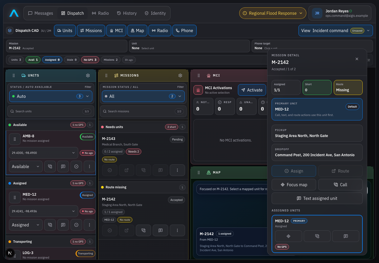
AIGIS OPS showing populated dispatch, unit, mission, and map context
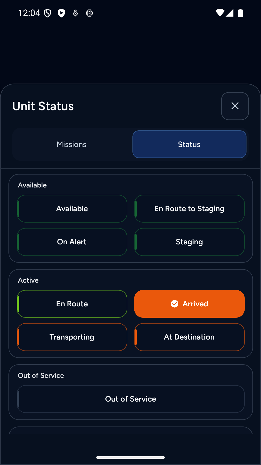
AIGIS Field showing unit status controls

Two operational apps. One shared incident.

Field and OPS share the same missions, messages, radio channels, unit status, and operational context while respecting the different work each device needs to support.

AIGIS Field

iOS and Android

Response tools on iOS and Android.

A focused mobile experience for the work that happens away from a console: unit status, mission creation, maps, messages, push-to-talk, and documentation.

  • Create a mission and take it with the active unit when enabled
  • Share location, unit status, and mission progress
  • Respond to critical requests with operational acknowledgements
  • Keep queued work moving through intermittent connectivity
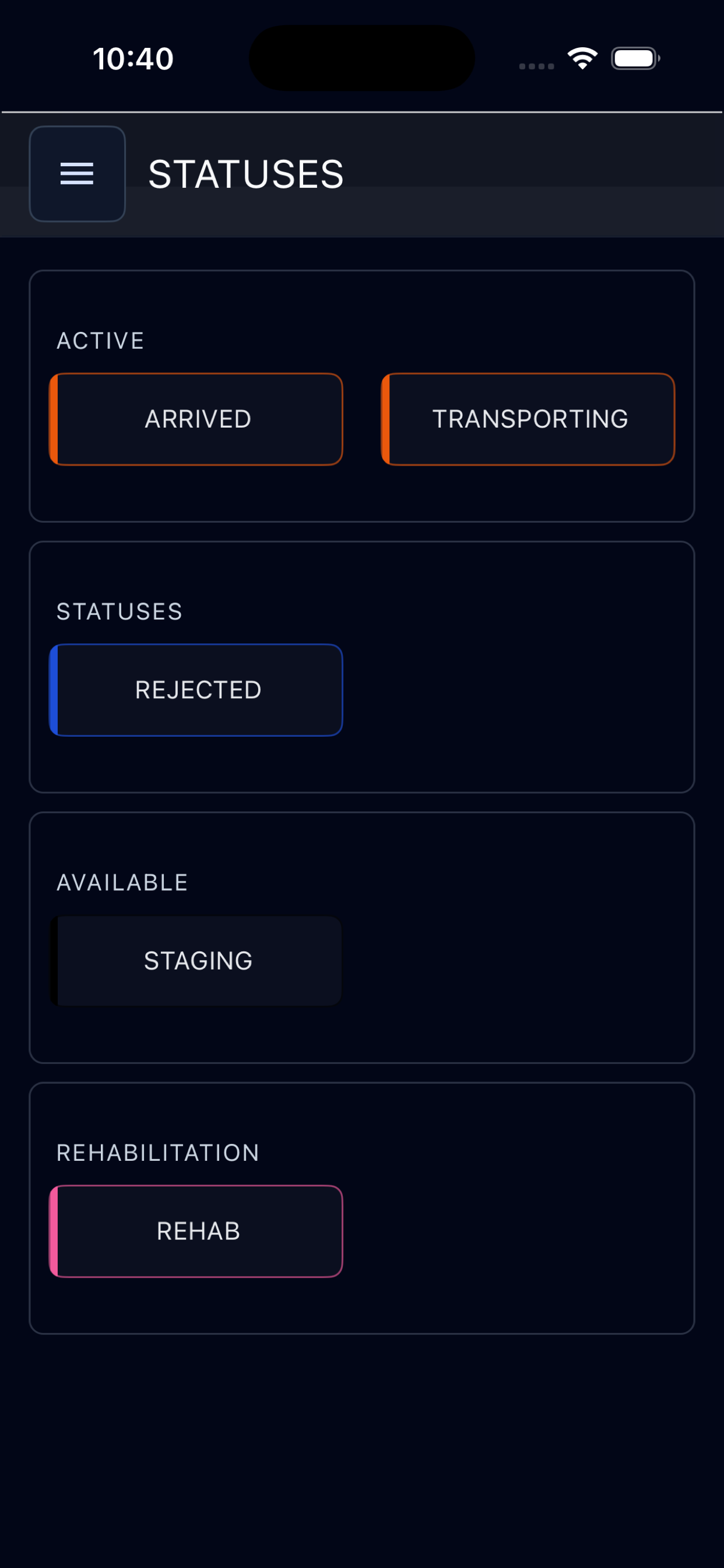
AIGIS Field showing responder status controls on iPhone

AIGIS OPS

macOS and Windows

A larger workspace for dispatch and coordination.

Use unit tracking, missions, messaging, radio, and incident data from a desktop workspace for dispatch, command posts, and emergency operations.

  • See units, mission status, aircraft, and operational overlays
  • Coordinate incident channels and structured updates
  • Transmit and monitor broadband push-to-talk channels
  • Assign work and manage the dispatch queue from one workspace
ops.aigisapp.com · Live operations
AIGIS OPS showing unit, mission, status, and assignment actions

Operational core

The workflows that keep response moving.

Each capability remains connected to the incident instead of becoming another isolated tool.

Live Operations

Track units with location freshness, movement, heading, speed, mission context, and operational status. Add configured weather intelligence, power-outage conditions, aircraft, areas of operation, points of interest, SOS events, and issues to the same map.

Weather sources can include official alerts, radar, lightning, convective outlooks, tropical tracks, fire intelligence, flooding, heat, winter weather, wind, and air quality.

Explore map & unit tracking

Operational Messaging

Move beyond group chat with incident channels, direct and group conversations, replies, tactical responses, read state, files, polls, locations, issues, offline queueing, and AI-assisted follow-through.

End-to-end encryption is available for trusted text direct messages in the packaged AIGIS OPS desktop app. The claim does not extend to every AIGIS conversation.

Explore operational messaging

Interoperable Radio

Use push-to-talk in AIGIS Field and AIGIS OPS, monitor several channels, keep one transmit target selected, see who is speaking, and replay recent traffic when recording is enabled.

Bridge selected AIGIS channels to conventional radio through a configured RoIP path. AIGIS supports major gateways including Vocality, JPS, and other major RoIP devices. Each deployment is configured and acceptance-tested.

Explore interoperable radio

AIGIS Dispatch

Use a simplified CAD-style workflow for mission creation, assignment, status, routing context, and unit coordination without turning field work into a full dispatch-console exercise.

When incident policy allows, responders can create a mission in AIGIS Field and take it with their active unit. Command teams can assign, unassign, and manage mission and unit status in AIGIS OPS.

Explore AIGIS Dispatch

AIGIS Command

Responder records tied to each incident.

AIGIS Command links responder identity and qualifications to assignments, deployments, and recorded incident participation.

Each record shows the incident, assigned role, and retained service history.

Explore AIGIS Command

People

Identity, credentials, qualifications, teams, and access

Service history

Assignments, deployments, and incident participation

Operational record

Objective activity and accountability across incidents

AI-assisted. Operator reviewed.

See how AIGIS fits your operating model.

Permission-gated weather decision supportAircraft awarenessTrusted identity