Command maps, CAD, and aircraft tracking
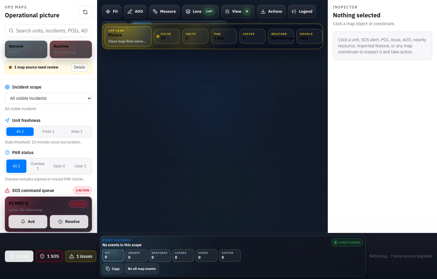
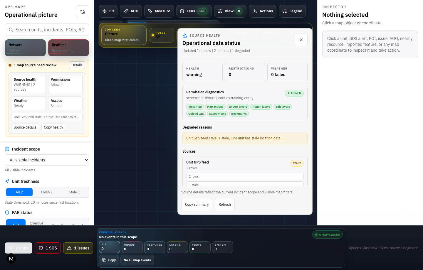
AIGIS maps and CAD now cover more work across AIGIS OPS, Command, and Field.
- Added aircraft tracking support for command maps.
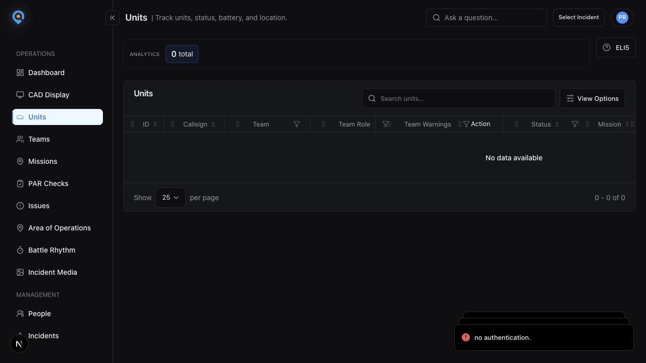
- Improved CAD mission setup, details, status actions, attachments, and location repair.
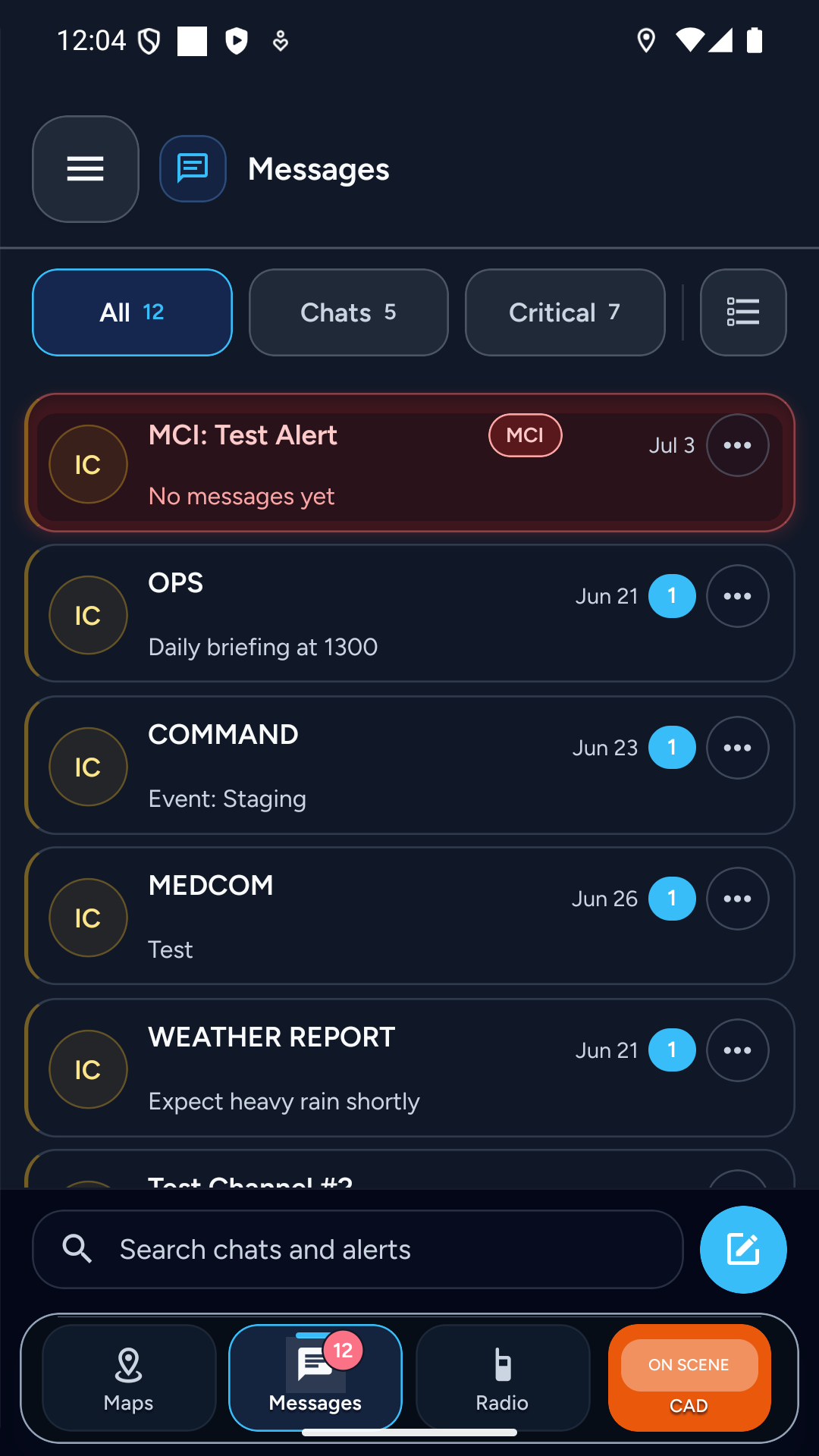
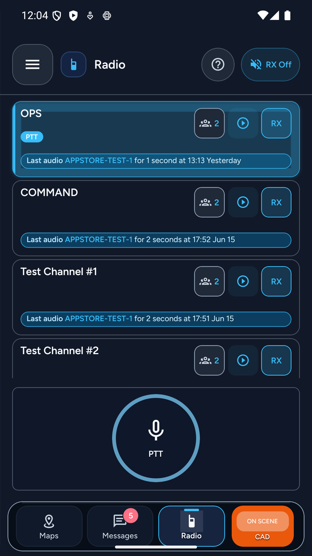
- Added mobile CAD creation, details, step controls, and self-dispatch workflows.
- Improved pre-release reliability checks for live maps.